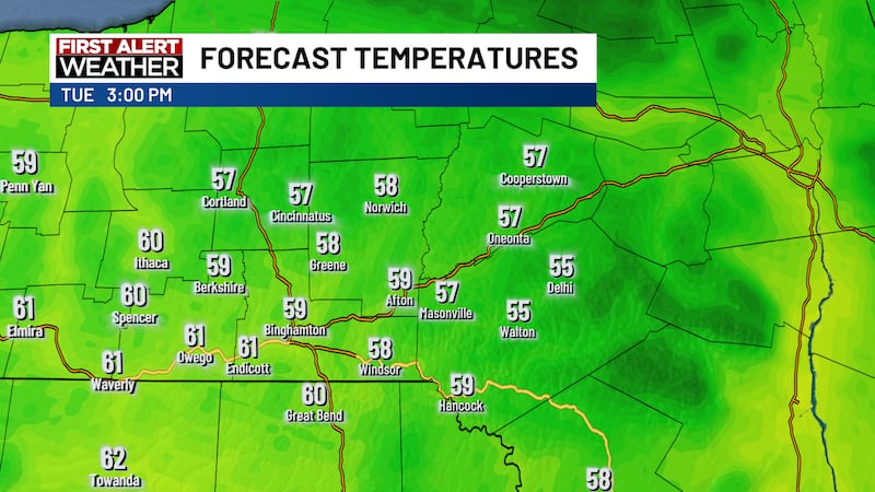
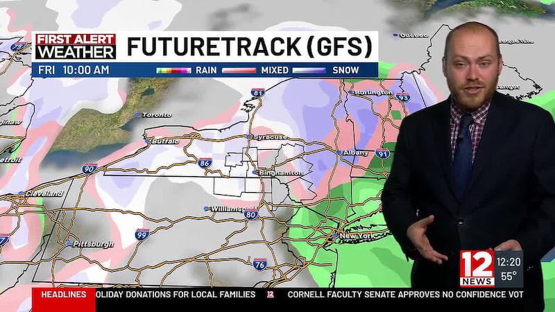
FIRST ALERT: Nor’easter brings steady rain and potential for snow accumulations
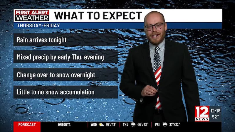
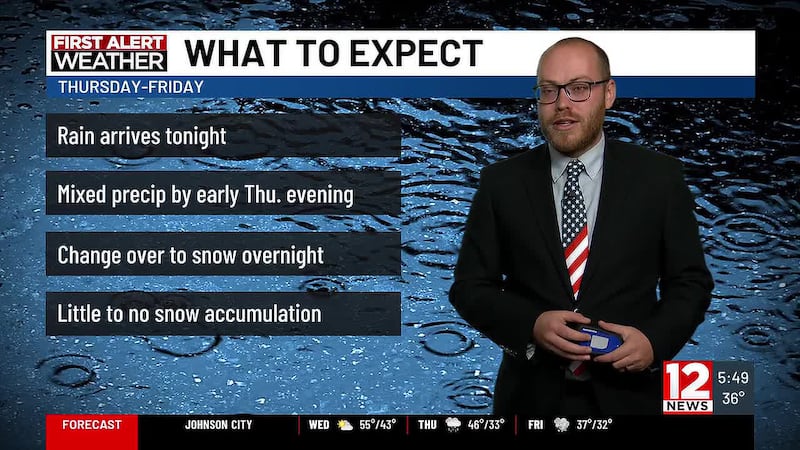
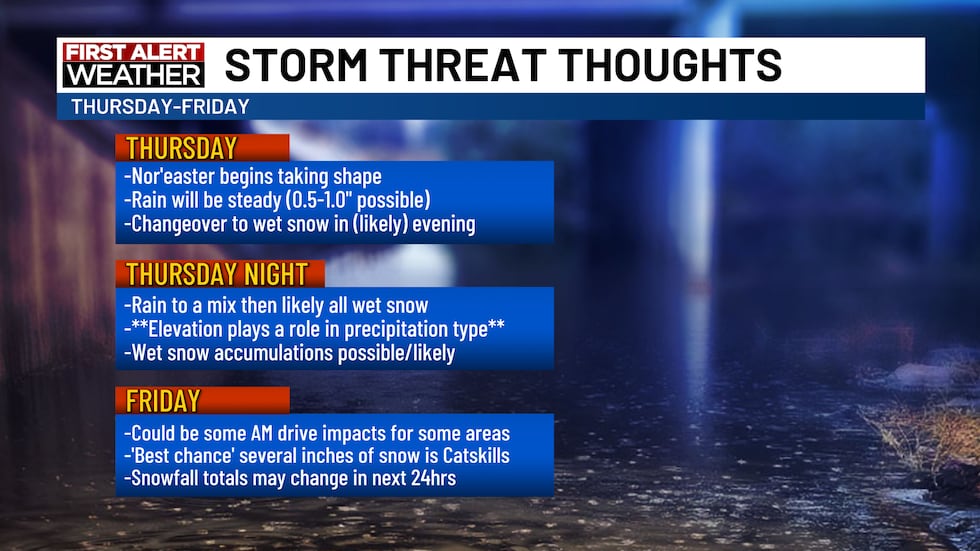
(WBNG) - The long-talked about Nor’easter begins impacting our area overnight tonight. Light showers are expected but as the low moves closer, there will likely be some steady rain developing. Lunchtime brings some widespread rainfall.
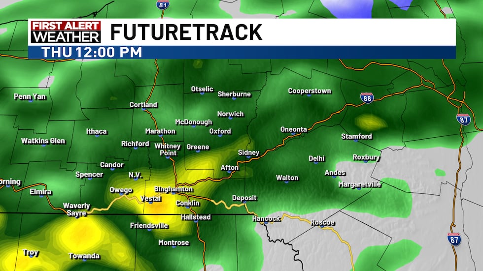
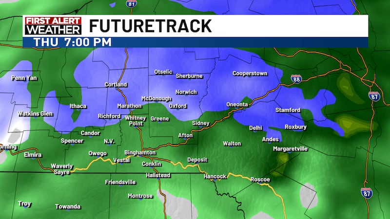
Later in the day, as the sun departs for the day, rain begins changing to wet snow from the higher elevations to the lower, from north to south across the area.
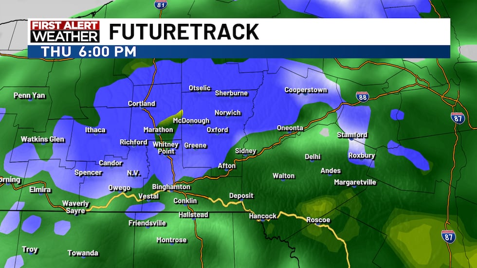
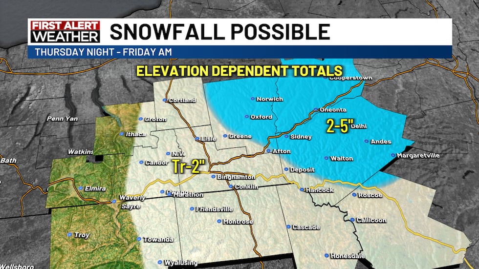
By midnight Friday most of the precipitation should be in the form of wet snow. This will not be a dry, fluffy snow and it should take a bit of time to beging accumulating. The rate at which the snowfall occurs will have an impact on potential accumulations as well given the ‘warm’ ground. If the snowfall rate is high, it can overcome the warm ground. If it is low, the warm ground will eat up accumulation potential by melting the snow as it lands.
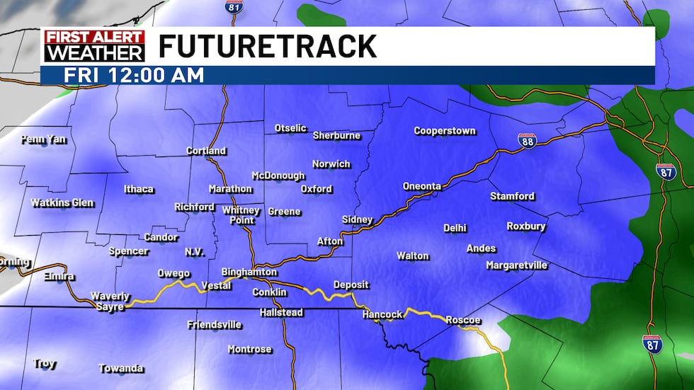
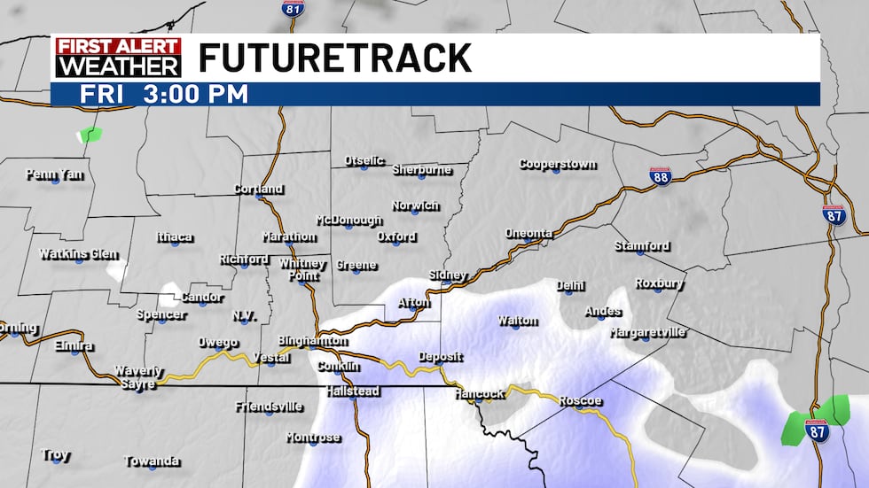
By Friday afternoon, the ‘worst’ of the Nor’easter will be behind us as the snow showers wrap up.
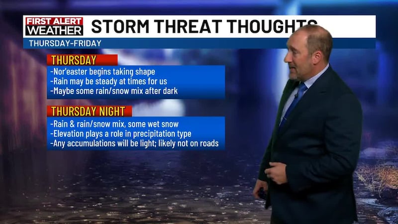
Here is a breakdown of what to expect through Thursday, Thursday night and Friday.
While we do expect some snowfall accumulation to develop, there are some wildcards with this system. This list breaks down a few of the ingredients that will impact potential accumulations in our area.
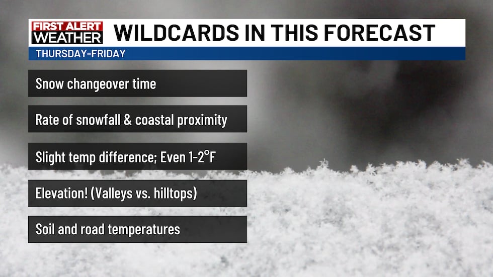
Your location’s elevation is EXTREMELY important in this weather event. Lower elevations should end up being the lower end of these accumulation ranges, while higher elevation locations should be on the higher end.
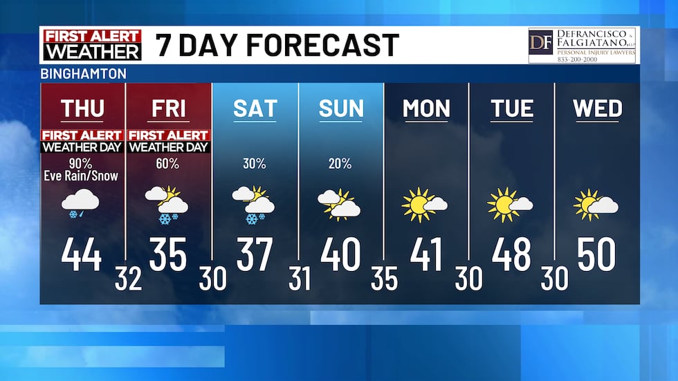
The next 7 days shows a chilly weekend ahead, but we return to dry and sunny weather starting Monday of next week.
Copyright 2026 WBNG. All rights reserved.