Nor’easter develops late this week and brings a mixed forecast
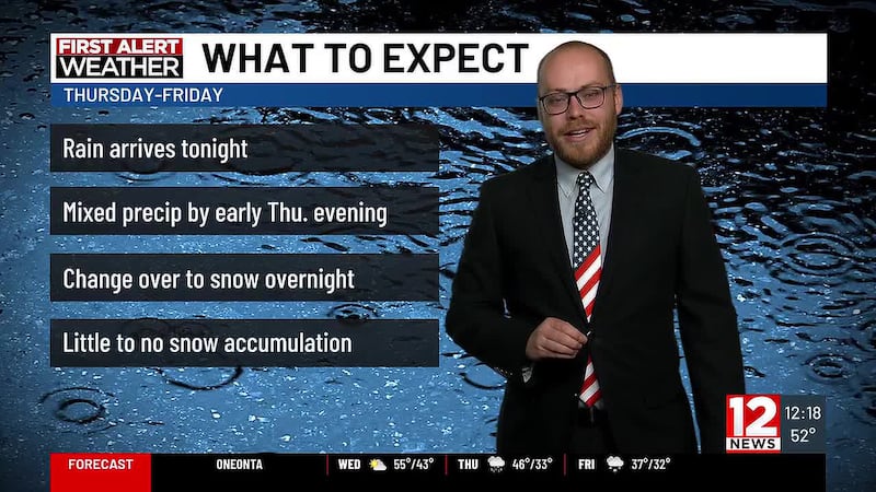
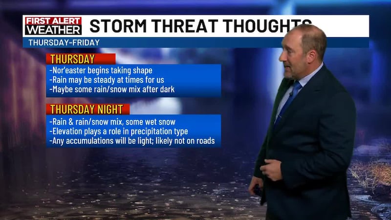
(WBNG) - Heading into the rest of the week we’re going to be getting ready for a Nor’easter that will likely bring some snow and snow showers to the area. Rain arrives late Wednesday night. A rumble of thunder is even possible overnight into Thursday morning. Rain will be steady at times Thursday.
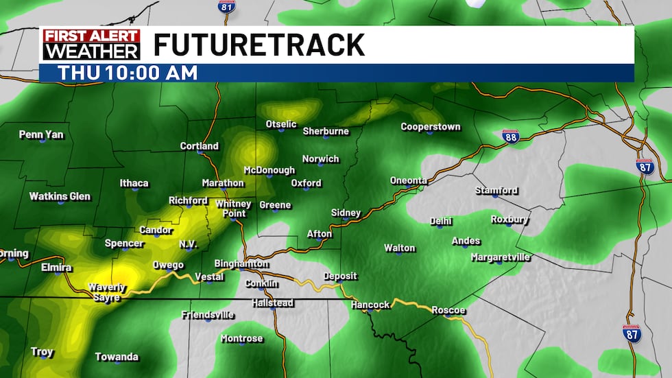
As the night begins, rain will begin mixing with, and changing to, some wet snow from the higher elevations down. The ground is still quite warm so any accumulation will be stunted at first. Roads should not see much, if any, accumulation on them.
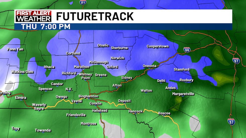
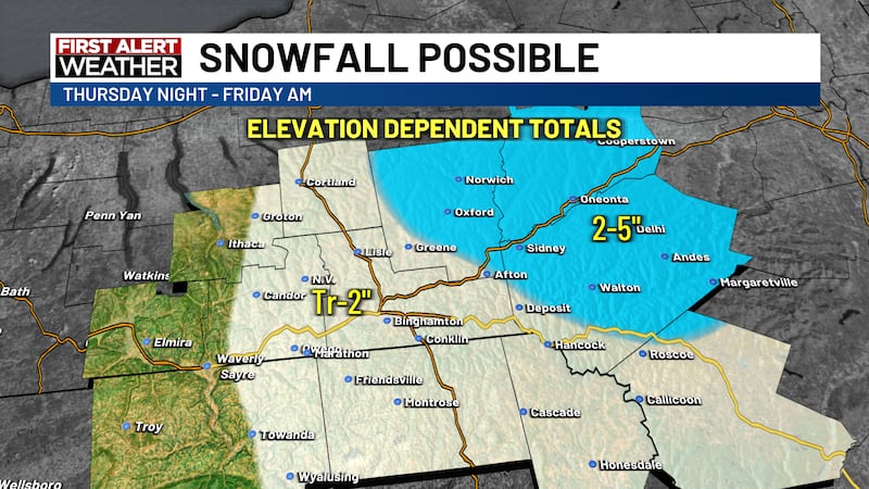
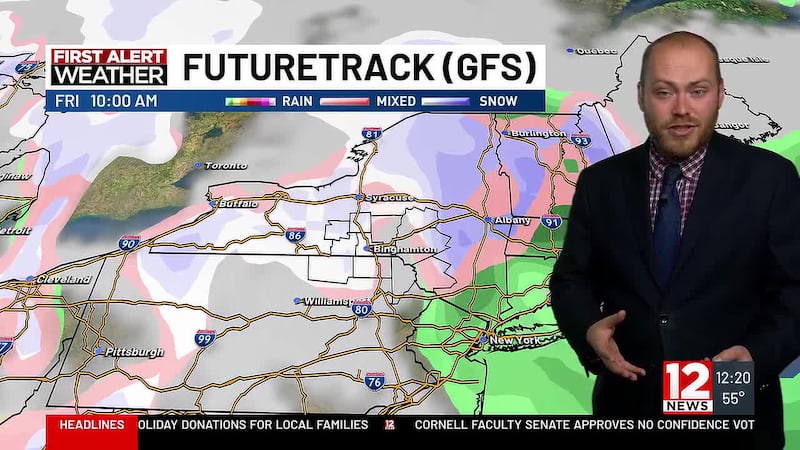
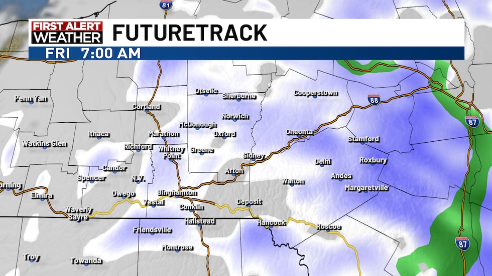
By Friday morning, it will be cold enough for just some plain ol’ snow showers. The snow showers taper from west to east through the early afternoon. We do not currently expect widespread accumulations. However, in higher elevations, there is a small chance of some minor accumulation overnight Thursday into Friday morning.
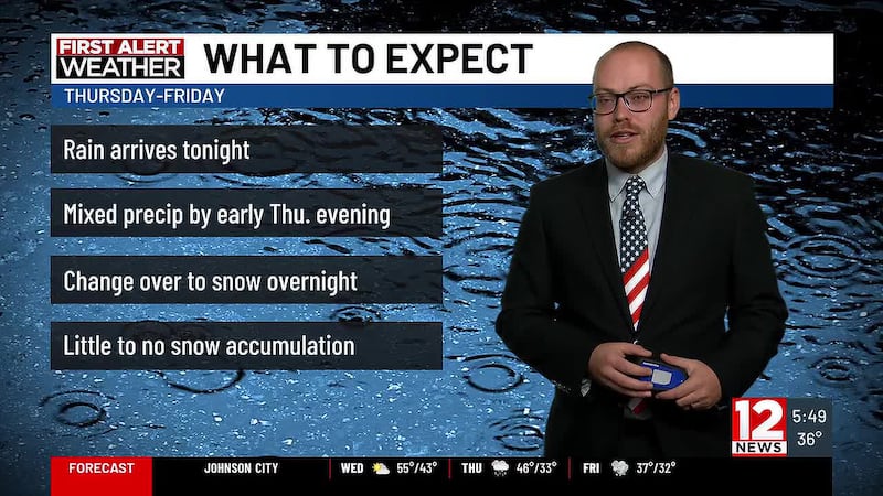
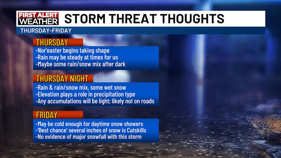
Here are some thoughts on what we expect in terms of a timeline for the Nor’easter.
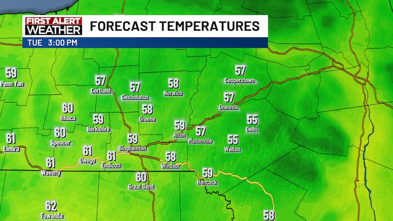
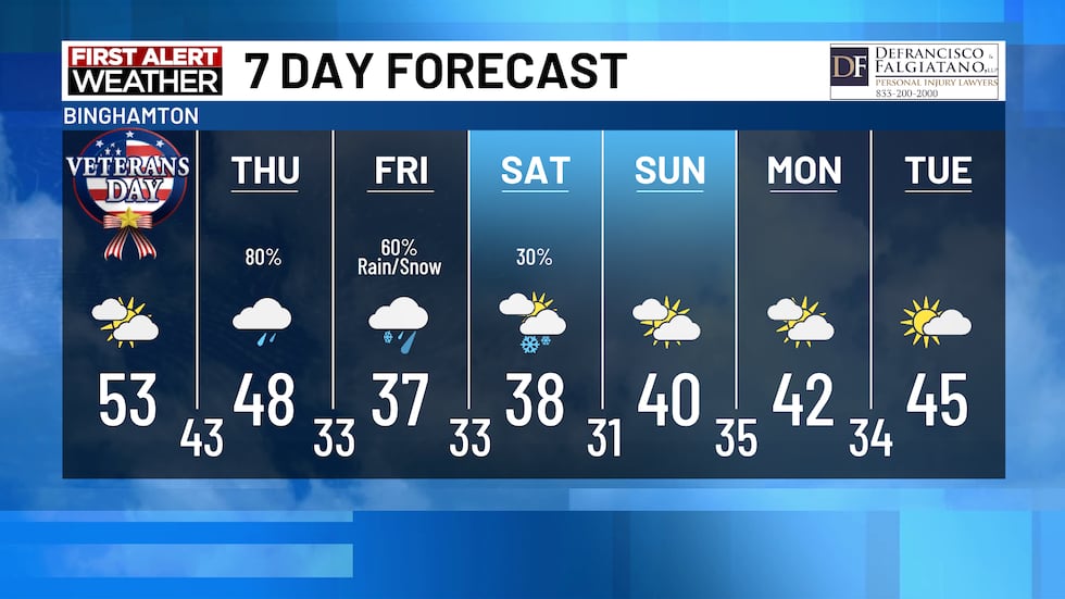
It will turn colder behind the storm and 30s are likely for highs this upcoming weekend. Beyond that, another mild-up trend is coming into mid next week.
Copyright 2026 WBNG. All rights reserved.